
Project completed: P082_Uganda
Land Use and Land Cover Change Effects on Water Quality Characteristics of the Maziba Sub-Catchment, Western Uganda
Cooperating countries: Uganda and Austria
Coordinating institution: Kabale University, Alex Saturday, salex@kab.ac.ug
Partner institution: BOKU University
Project duration: 1 July 2023 - 30 June 2025
Budget: EUR 20.000
Abstract:
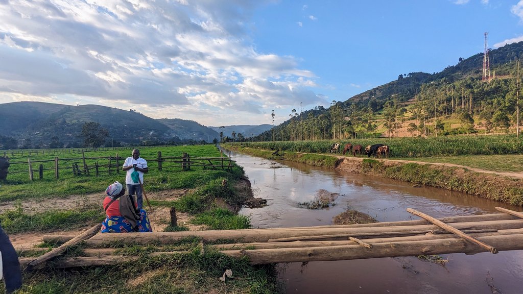
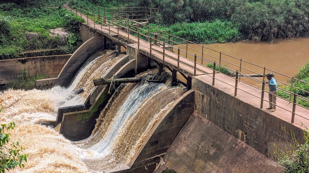
In 1991, Uganda had a population of 18 million people. In only 30 years, in 2020, the population has increased by a factor of 2.6 and has reached 46 million. Similarly, to the nationwide trends, the Maziba catchment of western Uganda has experienced rapid human population growth, encroachment of natural habitats and environmental degradation, which has an immediate negative impact on water quality due to (agrochemical) pollution, sediment and nutrient loading of surface waters through increased erosion and surface run-off. The changes in land use and land cover (LULC) and the connections to the water quality characteristics are however poorly understood, not only in the Maziba catchment but also for other similar catchments typical for south-western Uganda. At the same time the capacities to analyse and understand the connections between LULC and water quality - a prerequisite for providing adaption and mitigation for the future - are limited. Given this background, the study will (i) investigate LULC changes for the period 1991-2020, (ii) measure and analyse the spatio-temporal distribution of physiochemical water quality parameters, (iii) investigate the effects of LULC on soil erosion, including the estimation of sediment delivery ratios, and (iv) build human capacities through training of relevant tools and methods. The study will provide a consistent database and new insights into the space-time water physiochemistry and soil erosion rates vital for supporting better regulation, development and management of the concerned land and water resources. For sustainability, the research findings will be published in scientific journals, but also leaflets and posters in non-technical language for the continued support of the existing national policies in Uganda, also geared towards the realization of relevant SDGs (i.e., SDG-2, SDG-3, SGD-6, and SDG -13).
Summary:
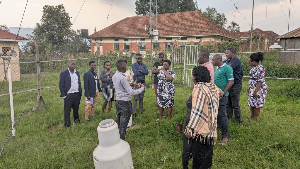
This study aimed to examine the effects of LULC on the ecosystem health of the Maziba catchment in south-western Uganda. Specific objectives included: i) analysing land use and land cover changes in the sub-catchment over 30 years (1991-2020) using satellite imagery and Geographical Information Systems (GIS); ii) assessing the impact of land use on the spatial and temporal distribution of physico-chemical water quality parameters and discharge; iii) evaluating soil erosion within the study area; and iv) enhancing capacities through training on various open-source (GIS-based) tools and methods for water resources and water quality management, to establish a readily accessible (Geo-) database, including meteorological data, GIS data, water quality, and discharge data.
Key project outputs include:
- LULC Analysis: Classified satellite imagery illustrating land use and land cover distribution across 5-year intervals from 1991 to 2020; trends in land-use and land-cover change are analysed over time.
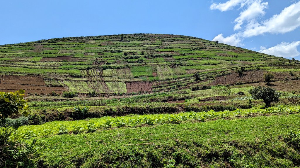
- Soil Erosion Evaluation: Developed soil erosion maps that identify and explain areas with high erosion, quantified sediment load data, and SDRs for various sub-catchments within the Maziba Sub-Catchment, Uganda.
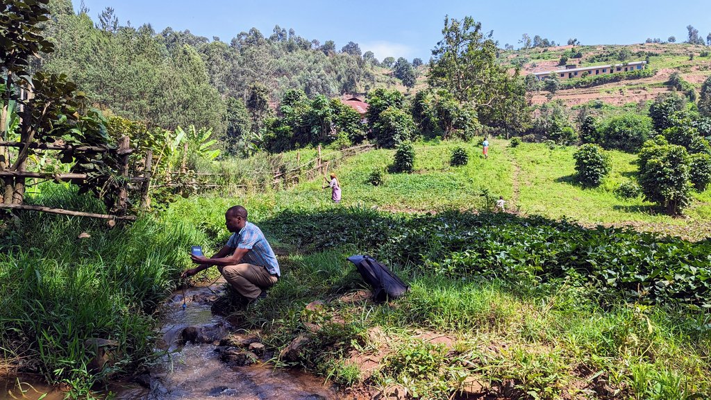
- Water Quality Assessment: 1) A comprehensive dataset containing 176 samples covering a wide range of parameters was published online and hosted on Zenodo: zenodo.org/records/15465441. 2) Analysis of water quality distribution, longitudinal profiles, and monthly sampling results. 3) Manuscript submitted: “Spatiotemporal Variability of Surface Water Quality in Tropical Agriculture-Dominated Catchments: Insights from Water Quality Indices (WQIs)” (under review).
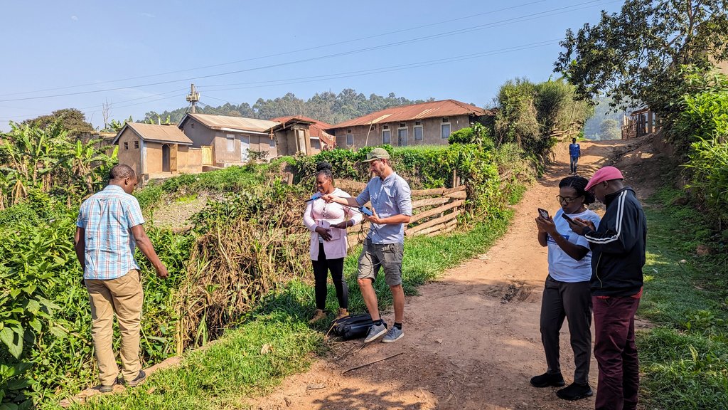
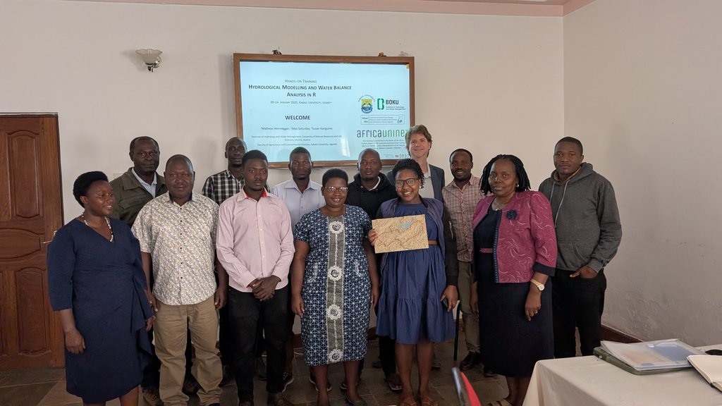
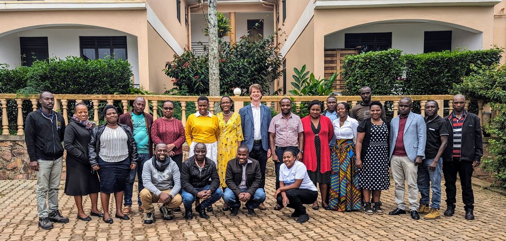
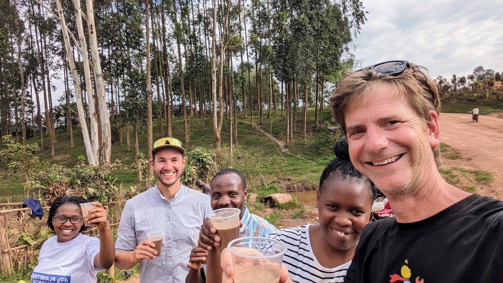
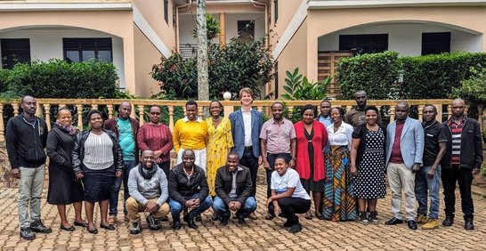
- Capacity Building and Database Development: Two staff members from KAB attended the Train-of-Trainers programme for KAB staff at BOKU University. Additionally, 33 postgraduate students and staff engaged in GIS applications for water and hydrology research, including hydrological modelling and water balance analysis using R. The MaziWa project supported one MSc student research project within its framework, titled “Estimation of Soil Erosion and Sediment Delivery Ratios in the Maziba Sub-Catchment, Uganda.
The MaziWa project demonstrates an innovative approach by combining remote sensing, field monitoring, and capacity building to comprehensively assess the health of the Maziba catchment ecosystem.